There is a pleasure in the pathless woods,There is a rapture on the lonely shore,There is society, where none intrudes,By the deep sea, and music in its roar. I love not man the less, but Nature more. -Lord Byron
Showing posts with label sasquatch. Show all posts

Friday, October 3, 2014

ELK MEADOWS: Mt Hood Wilderness; Newton Creek

Maggie excited to be out on an adventure. It's been almost a month! (poor dogs right?) :)
Tim and I took a week day and drove out to Mt Hood Wilderness to do the ELK MEADOWS HIKE (click the link for the Portland Hiker's Field Guide reference page). This hike is moderate, 5 miles, and best time to go is Summer to Early Fall, any later the Newton Creek crossing gets a little sketchy. It was such a beautiful day, here are some pictures!


Stopped by the Barlow Trail and Pioneer Woman's grave turnoff to take a look at this view. One of my favorites. (same viewpoint as the cover photo for the blog).


Not sure how this tree got these hash marks... It looks very intentional and geometric, any ideas?


A nice peak at Mt Hood just after you start the uphill switchbacks from Newton Creek.


Branch Jenga
waterfall of branches, a secret spring was coming from underneath. Fairy land!
Adventure Dogs.

A lovely view from a clearing along the trail, this is about one mile in on the uphill switchbacks past Newton Creek.


The trails are really well marked in this area. There are several turn offs but you shouldnt have trouble staying on the right path! About 3/4 of a mile past this sign, we saw about 3 female perigrine falcons taking a bath together. It was so awesome!!!
Chloe Breault-y at Elk Meadows. This is a great place to camp, read, take a nap, and just take it all in!


Sunday, July 13, 2014

SIOUXON CREEK HIKE ("SOO-sahn"): Gifford Pinchot swimming, hiking, biking, great family spot!

LINK FOR DIRECTIONS: http://www.portlandhikersfieldguide.org/wiki/Siouxon_Creek_Hike

We originally found the information about this hike in this book. Best book ever for people like us, who generally stick around the greater Portland region and can't go in too far (because of Chloe's 6" long legs). Anywho, Siouxon Creek! Awesome spot. We only went about 2.2 miles in to Siouxon Falls, which is a pretty triple tier fall that has some pools you can take a dip in. We set up camp on a ledge below the falls. It was great to hear the falls rushing down while we fell asleep. The water here, while nowhere close to warm, seems to be a bit warmer than other area waterways, like the Clackamas or Washougal.

There are millions of swimming holes along this hike. We picked one randomly that offered a great sunny spot to cool of on a hot day. We'll definitely be back!


View from the top

The last bit of trail looking down to our campsite.


Chloe was sad about it.

Chloe dug her self a bed for a pre-bed nap.


Mountain goat-dogs
View from camp.
Virginia contemplating her existence.

So many beautiful pools along the hike.


Ferngully

One of several spots to access the creek and go for a dip!

Miners Lettuce all over the place lining the forest roads!
This was my old faithful Jansport's last backpacking trip. Time to get fancy with a newer pack. These things will sure last a million years though. I'm just ready for the comfort and the lighter weight of a modern pack.

As mentioned, we only made it to the first falls. We had intended to get up early and go further along the trail to Chinook Falls, but Tim slept waaaaay late, and then spent the rest of the afternoon tying knots and swimming, so that plan didn't quite work out.

Quick side note: You'll probably be surprised at the number of cars at the trailhead lot, because it's pretty far from anywhere. Most of these cars are likely going to be day-use folks, as it's a pretty popular mountain bike trail. There are multiple camping spots all along the trail at pretty regular intervals, so you'll find a spot! 
I almost forgot! Lots of awesome critters up here! Found this centipede hanging out midnight-ish. Also saw a northern red backed-salamander with a bright yellow back! No Sasquatch yet :(

Saturday, January 18, 2014

SODA PEAKS LAKE TRAIL #133

Visit the Portland Hiker's Field Guide link for best directions to this Trailhead http://www.portlandhikersfieldguide.org/wiki/Soda_Peaks_Lake_West_Hike

Distance: 4.4 miles
Elevation gain: 1270 feet
High Point: 4780 feet

Free, sign in at trailhead, no pass required "self issued wilderness permit"

We took the west trail in to Soda Peaks Lake, it is the shorter option, and you most likely won't have to worry about the bridge being out, or trail damage/blockage.

This hike is best in the summer and early fall, otherwise you will be in and around snow. Our vehicle was swarmed by a murder of horse flies as we pulled up to the trailhead, at first we thought we had driven over a hornets next, as they were literally attacking the car. Don't let them scare you away, just grab your gear and run 20 feet! They didn't follow us, they were just pissed at the car. I would empty your car of everything before you head up the trail, and leave the doors unlocked, when you park on those forest roads, you never know who will want to look through your car, and its better to avoid having broken glass.   We saw a lot of scat on the trail, some cougar, some possibly cayote.

The hike is listed as "moderate" difficulty on the Portland Hiker's Field Guide website, but in my personal opinion, it's more like moderately difficult, especially with a 30-40 pound pack, you climb straight up and straight down to the gorgeous lake, with 360 views of the moraine and thick forest towering over you. The first campsite you will come to is the largest with the best access to the lake, nice fire pit as well, however there is a "no camping" sign posted specifically in this spot, so chose your own adventure on that. There are a number of good campsites at the lake, which lies nestled in a glacial cirque below the summit of an old volcano that erupted about 360,000 years ago.

Tim was a little bummed he did not have a fishing pole with him, and made use of my emergency fishing lure and an unfortunate beatle. He got several bites, but no dinner. The weather was perfect and sunny with spots of shade, followed by the largest wind/rain storm I have ever witnessed in a tent. Very very large branches were falling throughout the night all around our tent, so maybe it would be best to keep the tent in a clearing if you feel a storm coming in.  All in all, a short distance challenging hike, with one or two breathtaking views, and a gorgeous, relaxing destination. (As well as a possible visit from Sasquatch, I've never smelled anything like that in my entire life, enough to make me closer to a believer) We will be back.
After the first climb, a viewpoint of Gifford Pinchot forests

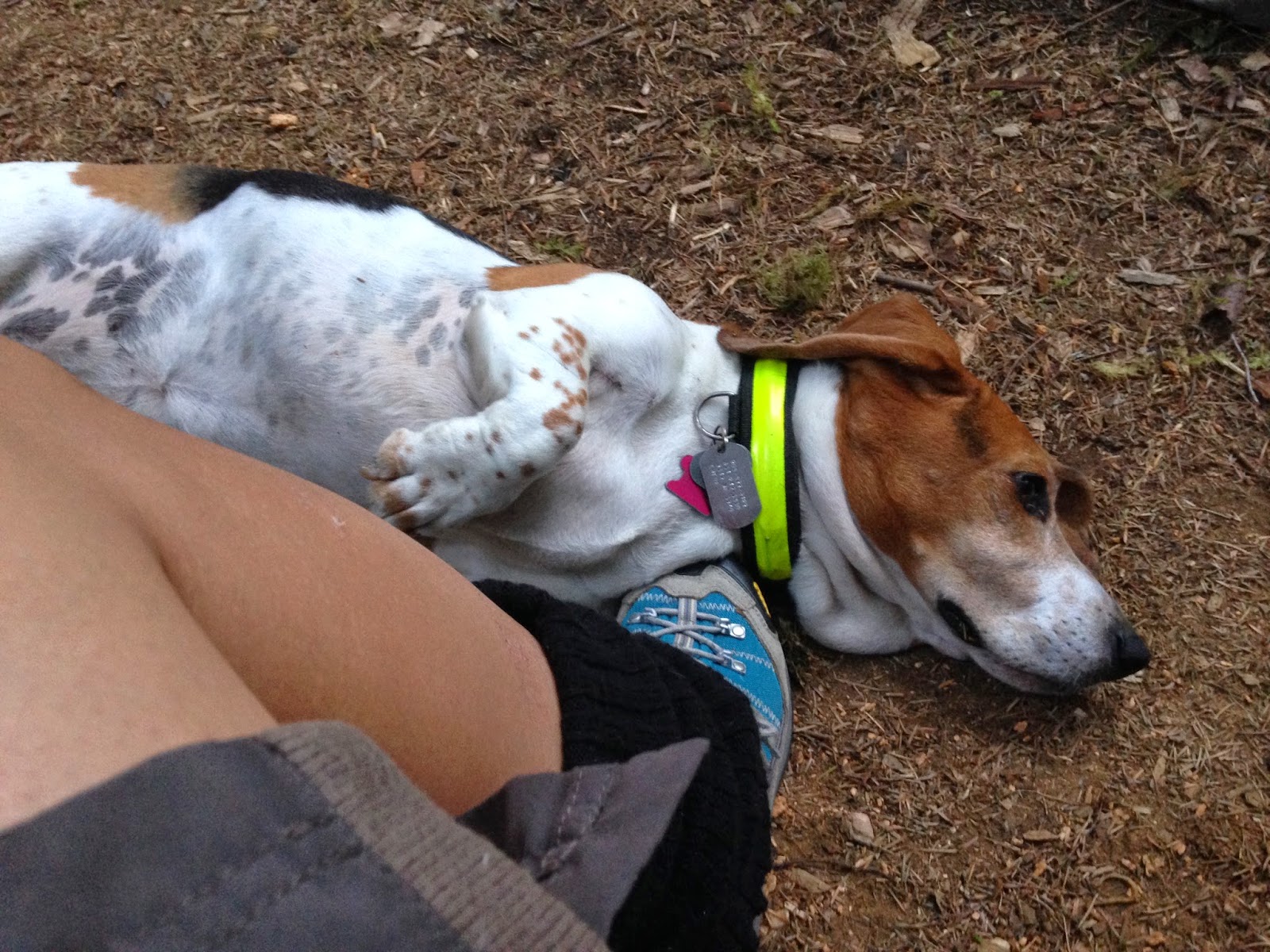
Maggles the super dog

The best 2 dollar camp purchase ever, floatee and outdoor bed, weighs next to nothing

Dang trees get out the way!

Here fishy fishy
We decided to take our chances and camp at the first main camp site, since it has such a nice access to the lake, not sure why it has the "no camping" marker. We figured the chances of a ranger coming down and booting us out to a different spot were small, but all the other sites were empty as well, so that wouldn't have been a problem.

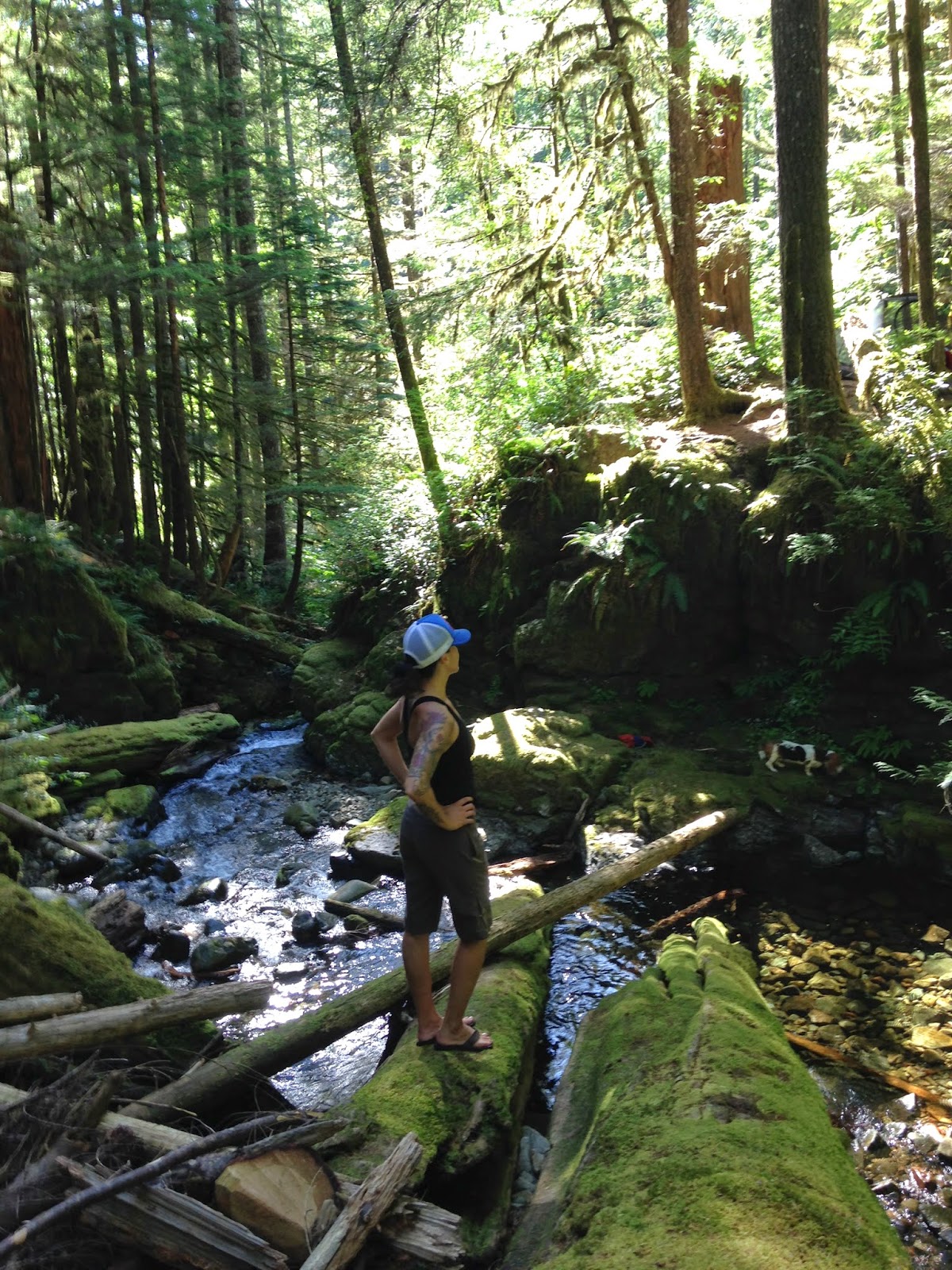
Yukon and Chloe at the crest

Trailhead, safe distance from the flies.