There is a pleasure in the pathless woods,There is a rapture on the lonely shore,There is society, where none intrudes,By the deep sea, and music in its roar. I love not man the less, but Nature more. -Lord Byron
Showing posts with label hikes. Show all posts

Monday, November 10, 2014

Chanterelle Hunt November 2014: Gifford Pinchot/Panther Creek Wilderness

A few of us from work went Chanterelle hunting last weekend, we pulled off on Warren Gap Road in the Panther Creek Wilderness, and walked down a trail for a quarter mile, we found several magical spots filled with Chanterelles as well as other beautiful mushrooms. It was my favorite mushroom hunting trip to date.


We came back to carson via a loop to Panther Creek Road. We decided to sneak in a trip to Panther Creek Falls. This is very hard to see if you have never stopped before, above is the only sign at the trail head on the north side of the road, but it may be easier to look for the gravel pull out.


Rob with his treasures.

 Lower Panther Creek Falls
Photo Credit: Dale Davis, Lower Panther Creek Falls
 Daydreaming in fairy land.
 Dale looking adorable as ever.

Friday, October 3, 2014

STRAWBERRY LAKE(wildfire weekend): via Fossil/John Day/Strawberry Mountains

Some late photos of our trip to Strawberry Lake and the Strawberry Mountains last month. Click the Portland Hikers link for more information. Strawberry Mountain Loop. We had to delay this trip the first week because of several uncontrolled wildfires in the area, we passed several brand new fires on our drive out, and back home on this trip. (see pictures below). We are so grateful for all the selfless fire workers and volunteers, and can't imagine how hard they are all working to try and keep us, and all the animals in the area as safe as possible. Thank you!


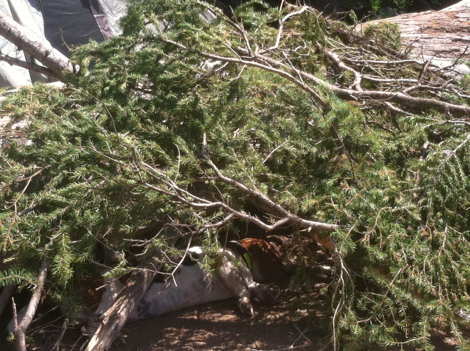
Chloe the camo Basset.

Smoky Oregon.

Giant Bug friends. He kept trying to play Yahtzee with us. I approve.

This may have been the Murderer's Creek/Wilderness Fire, or the beginning of it.

Murderer's Creek Wildfire. Malhuer National Forest.


Monday, July 28, 2014

SPARKS LAKE: Cascade Lakes Highway; STEENS MOUNTAIN LOOP: Highway 205, Frenchglen

Click the link for a map of the Cascade Lakes National Scenic Byway, just a short jaunt outside of Bend, and worth the views alone. The first several photos are from our stop at Sparks Lake, it is one of my favorites off of the byway. There is a 2.8 mile hiking loop, very easy, with several gorgeous views of the lake. This would be a magical place to Stand Up Paddle Board (SUP) or kayak.  There several pull-in camping spots on the west side of the lake, and just a few down the boat ramp road, near the main body of the lake.

They call this spot the "viewpoint". So if you park in the main lot near the boat ramp (FYI , take the road on the left to head down a gravel road to the boat ramp and trail access). Park here, and when you hike the loop, keep an eye out for the "viewpoint" sign, so you don't miss your turn!
Here is another good link for the Sparks Lake hikes:


Not sure what this is right now, working on it.

Only 1.6 miles to Davis Canyon from the main lot.
One of the many ominous lava canyons along the short hike.
We headed east from Bend to spend a night at Crystal Crane Hot Springs. (My favorite place), http://cranehotsprings.com/
And Tim wanted to do the Steens Mountain Loop which we've been trying to see for years, but the loop is only open about 3 months out of the year (best time July-October), the road is shut down during most of the winter. The 59 mile loop took about 4 hours to do (that includes driving very slow and stopping at the viewpoints/campgrounds to walk around). It's a little over 7 hours back to Portland after you finish the loop. So maybe this would be a good time to spend 2 nights at Crystal Crane! Dog friendly cabins, affordable rates, beautiful wildlife, AMAZING STARS!!
The Bureau of Land Management has a great resource page for the Steens Mountains, here is the link: http://www.blm.gov/or/districts/burns/recreation/steens-mtn.php
Lizard friendship.

This is either part of the Little Blitzen, or Big Indian Gorge. There are four total, massive U-shaped gorges in the Steens mountain wilderness. Each carved by a glacier like a billion years ago.
There is a strong cow population on the loop. FYI, if you see a huge bull laying right next to the road, don't get out and try to pet it. (I can't help it they're so cute)
There are a few campgrounds on the loop. This is Fish Lake campground, it has bathrooms, campsites (no fires allowed right now as you can imagine). The lake is just lovely, plenty of fish, and a great trail that runs around the lake from the campsites. Above is a photo from the campsites, heading to the lake.
Tim spotted a nest in the sage brush. There were several different kinds of sage brush we saw, it was just everwhere!
This is a ....
My water dog Maggles Mae.
Miss Chloe looking very concerned about how she is going to exit the lake.
 They get more comfortable in the water every day!


Whitney's Locoweed (Astragalus whitneyi) A native to Sierra Nevada, found in Central and Eastern Oregon and Southern Washington

Big Indian Gorge.
 
Big Indian Gorge.
Trail down to Wildhorse Lake.

This is a view of Wildhorse Lake (and Wildhorse Lake Campground). This lies just past the East Rim viewpoint. You follow a road up a hill, towards the cell tower, there is a small parking pull off on the right, and a trail down to the main head of the Wildhorse lake trail. At the parking lot, it is about 9600 feet in elevation! 
You must see this for yourself someday, it might be the most beautiful landscape I've ever seen. Such an amazing perspective, and quite overwhelming to be so high above everything.

There were so many beds in the brush and grass. Perhaps an overnight spot for antelope, elk, deer, or cows!

The girls posing for the cover of the next "Adventure Dogs" calendar.

Sunday, July 13, 2014

INDIAN RACETRACK HIKE: Falls Creek Horse Camp Trailhead


Not too much to stay about this hike. We had a great time, but we zigged where we should have zagged and did a completely random trail that ended nowhere. Read your directions/map! This time of year the whole Indian Heaven area is loaded with mosquitoes, so beware of that as well.

Note: Park your car at the trailhead sign, then turnaround and cross the forest road and enter the trail that way. If you go straight into the forest from the trailhead, you end up with a nice jaunt in the woods, but I'm sure the other way is better!
Wildflower!

Cicada and former Cicada! 

The Girls!

Saturday, January 18, 2014

SODA PEAKS LAKE TRAIL #133

Visit the Portland Hiker's Field Guide link for best directions to this Trailhead http://www.portlandhikersfieldguide.org/wiki/Soda_Peaks_Lake_West_Hike

Distance: 4.4 miles
Elevation gain: 1270 feet
High Point: 4780 feet

Free, sign in at trailhead, no pass required "self issued wilderness permit"

We took the west trail in to Soda Peaks Lake, it is the shorter option, and you most likely won't have to worry about the bridge being out, or trail damage/blockage.

This hike is best in the summer and early fall, otherwise you will be in and around snow. Our vehicle was swarmed by a murder of horse flies as we pulled up to the trailhead, at first we thought we had driven over a hornets next, as they were literally attacking the car. Don't let them scare you away, just grab your gear and run 20 feet! They didn't follow us, they were just pissed at the car. I would empty your car of everything before you head up the trail, and leave the doors unlocked, when you park on those forest roads, you never know who will want to look through your car, and its better to avoid having broken glass.   We saw a lot of scat on the trail, some cougar, some possibly cayote.

The hike is listed as "moderate" difficulty on the Portland Hiker's Field Guide website, but in my personal opinion, it's more like moderately difficult, especially with a 30-40 pound pack, you climb straight up and straight down to the gorgeous lake, with 360 views of the moraine and thick forest towering over you. The first campsite you will come to is the largest with the best access to the lake, nice fire pit as well, however there is a "no camping" sign posted specifically in this spot, so chose your own adventure on that. There are a number of good campsites at the lake, which lies nestled in a glacial cirque below the summit of an old volcano that erupted about 360,000 years ago.

Tim was a little bummed he did not have a fishing pole with him, and made use of my emergency fishing lure and an unfortunate beatle. He got several bites, but no dinner. The weather was perfect and sunny with spots of shade, followed by the largest wind/rain storm I have ever witnessed in a tent. Very very large branches were falling throughout the night all around our tent, so maybe it would be best to keep the tent in a clearing if you feel a storm coming in.  All in all, a short distance challenging hike, with one or two breathtaking views, and a gorgeous, relaxing destination. (As well as a possible visit from Sasquatch, I've never smelled anything like that in my entire life, enough to make me closer to a believer) We will be back.
After the first climb, a viewpoint of Gifford Pinchot forests

Maggles the super dog

The best 2 dollar camp purchase ever, floatee and outdoor bed, weighs next to nothing

Dang trees get out the way!

Here fishy fishy
We decided to take our chances and camp at the first main camp site, since it has such a nice access to the lake, not sure why it has the "no camping" marker. We figured the chances of a ranger coming down and booting us out to a different spot were small, but all the other sites were empty as well, so that wouldn't have been a problem.

Yukon and Chloe at the crest

Trailhead, safe distance from the flies.