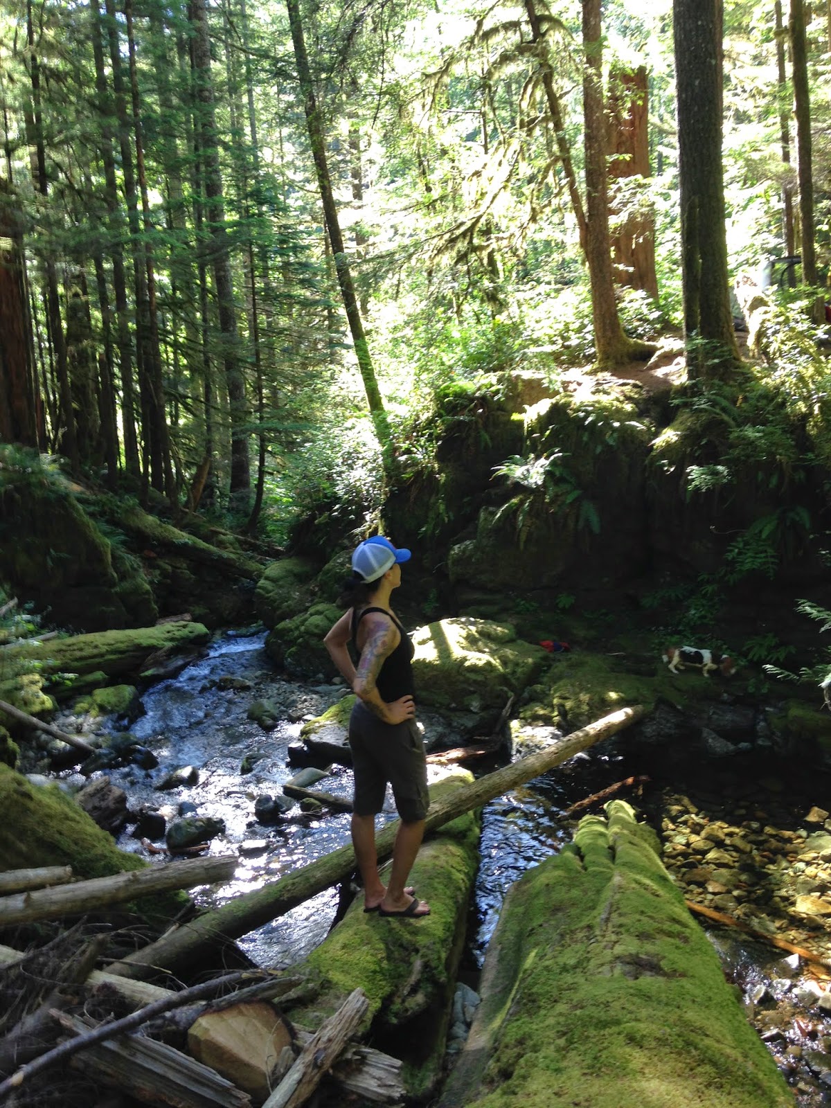
Click the link for a map of the Cascade Lakes National Scenic Byway, just a short jaunt outside of Bend, and worth the views alone. The first several photos are from our stop at Sparks Lake, it is one of my favorites off of the byway. There is a 2.8 mile hiking loop, very easy, with several gorgeous views of the lake. This would be a magical place to Stand Up Paddle Board (SUP) or kayak. There several pull-in camping spots on the west side of the lake, and just a few down the boat ramp road, near the main body of the lake.
They call this spot the "viewpoint". So if you park in the main lot near the boat ramp (FYI , take the road on the left to head down a gravel road to the boat ramp and trail access). Park here, and when you hike the loop, keep an eye out for the "viewpoint" sign, so you don't miss your turn!
Here is another good link for the Sparks Lake hikes:
Not sure what this is right now, working on it.
Only 1.6 miles to Davis Canyon from the main lot.
One of the many ominous lava canyons along the short hike.
We headed east from Bend to spend a night at Crystal Crane Hot Springs. (My favorite place), http://cranehotsprings.com/
And Tim wanted to do the Steens Mountain Loop which we've been trying to see for years, but the loop is only open about 3 months out of the year (best time July-October), the road is shut down during most of the winter. The 59 mile loop took about 4 hours to do (that includes driving very slow and stopping at the viewpoints/campgrounds to walk around). It's a little over 7 hours back to Portland after you finish the loop. So maybe this would be a good time to spend 2 nights at Crystal Crane! Dog friendly cabins, affordable rates, beautiful wildlife, AMAZING STARS!!
The Bureau of Land Management has a great resource page for the Steens Mountains, here is the link: http://www.blm.gov/or/districts/burns/recreation/steens-mtn.php
Lizard friendship.
This is either part of the Little Blitzen, or Big Indian Gorge. There are four total, massive U-shaped gorges in the Steens mountain wilderness. Each carved by a glacier like a billion years ago.
There is a strong cow population on the loop. FYI, if you see a huge bull laying right next to the road, don't get out and try to pet it. (I can't help it they're so cute)
There are a few campgrounds on the loop. This is Fish Lake campground, it has bathrooms, campsites (no fires allowed right now as you can imagine). The lake is just lovely, plenty of fish, and a great trail that runs around the lake from the campsites. Above is a photo from the campsites, heading to the lake.
Tim spotted a nest in the sage brush. There were several different kinds of sage brush we saw, it was just everwhere!
This is a ....
My water dog Maggles Mae.
Miss Chloe looking very concerned about how she is going to exit the lake.
They get more comfortable in the water every day!
Whitney's Locoweed (Astragalus whitneyi) A native to Sierra Nevada, found in Central and Eastern Oregon and Southern Washington

Big Indian Gorge.

Big Indian Gorge.
Trail down to Wildhorse Lake.
This is a view of Wildhorse Lake (and Wildhorse Lake Campground). This lies just past the East Rim viewpoint. You follow a road up a hill, towards the cell tower, there is a small parking pull off on the right, and a trail down to the main head of the Wildhorse lake trail. At the parking lot, it is about 9600 feet in elevation!
You must see this for yourself someday, it might be the most beautiful landscape I've ever seen. Such an amazing perspective, and quite overwhelming to be so high above everything.
There were so many beds in the brush and grass. Perhaps an overnight spot for antelope, elk, deer, or cows!
The girls posing for the cover of the next "Adventure Dogs" calendar.


