There is a pleasure in the pathless woods,There is a rapture on the lonely shore,There is society, where none intrudes,By the deep sea, and music in its roar. I love not man the less, but Nature more. -Lord Byron

Monday, March 24, 2014

CAPE LOOKOUT: 3 Capes Scenic Route


Click the link for detailed directions to the trailheads.
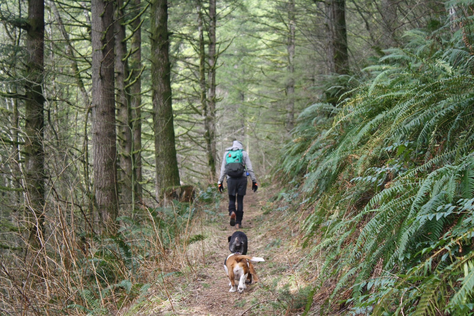
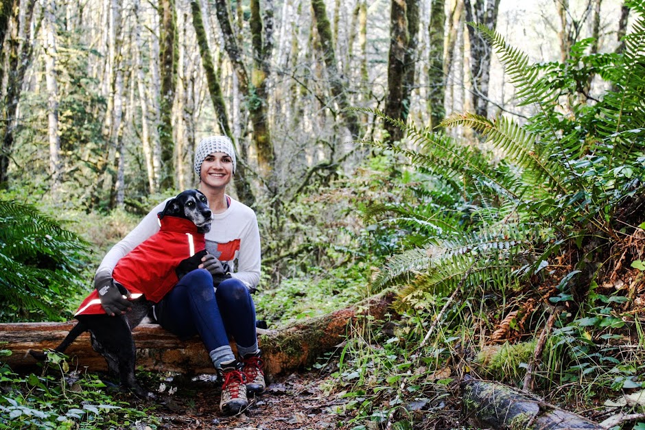
This is such a beautiful hike, and so easily accessible. The dogs have to be leashed here, as it is a popular trail, with a lot of families and other dogs. It's 5.2 miles in and back, with several jaw dropping views of the ocean. Another reason to keep the pups on a leash is the severe cliffs and dropoffs to the waters below, if your dog likes to chase anything, bring the leash! It is in shaded forest about half the time, and the trail makes for interesting terrain with all the large tree roots and in our case, lots of water and mud! They almost look like Banyon trees the way they are crawling all over the place, it's very cool. Chloe is a low rider dog, so as you can imagine, she was a muddy hot mess by the time we got back, but that's why we always carry our insta-dog bath wipes!
The view at the very top, the actual "lookout", is quite lovely, but I can imagine it gets crowded quickly as there's not much space at the top to take it all in. We didn't see any whales on our visit, which was early March, but I hear they should be there about now (mid March), so we are going to try and go back.  There is also a south trail that leads to a secluded beach that we will try and hit next time!


THREE CORNER ROCK: Washougal River Road

Click the link for the Washington Trails Association  website about Three Corner Rock Trail.

We will come back and add more photos to this entry later, we were on a time crunch and could not do the hike up to the actual "3 corner rock". Most trail guides or information will advise accessing from the Pacific Crest Trail, access east of Washougal off of Highway 14. We drove out the Washougal River Road all the way to the Stebbins Creek Trailhead. It is a 9.2 mile hike from this trailhead, and the first mile is straight up, it continues to work its way higher in eleveation pretty steadily until at least the first 3 miles, not sure from there, as we had to turn back around.

It is dense forest, with occasional peaks of the Creek far below, definate Sasquatch territory! It was a bit chilly without the sunspots, but all in all, a very soothing, beauty of a mini-hike. We will be back to do the 9.2 miles, there is a campground somewhere in the madness up there, going to try and track it down.


We came back out a few months later for nice weather, and to try and find the other trailhead. The forest road was closed by loggers so we were unable to continue on. We stopped here to look at our possible new secret swimming hole :)


Monday, March 17, 2014

WILSON RIVER TRAIL: Jones Creek to Footbridge


Jones Creek Trailhead to Footbridge Trailhead, 7.2 miles there and back.
http://www.portlandhikersfieldguide.org/wiki/Wilson_river_trail
When you pull this up on the Portland Hikers Field Guide, you will see "Section 4: Cedar Creek Section" which is what we did on this cool January day! It was just the right amount of hiking for us. The dogs did great as well, it is easy to moderate hiking, with several beautiful views of the river. You can pretty much see Highway 6 for most of the hike, but it doesn't take away as much as you would think. The only other people we saw on the trail were a forest service fella with a very sweet truck, and a solo fly fisher at the footbridge trailhead. The Wilson River trail itself is 22.6 miles, and it ranges from easy to difficult. There are places to camp at some of the stopping points, but they are marked campgrounds, with fees, etc. Often there are cheaper spots for foot/tent campers, in case you are on that kind of a program.


Man fly fishing across the river. You can access that shore by parking at the Footbridge Trailhead lot off HWY 6.

One of my favorite pictures of Maggie Mae in the whole world. That's my adventure girl!


Helping Miss Shortlegs over a big jump


WOLF CREEK TRESTLE HIKE: Salmonberry River and the like


Visit the link for the run down and directions:
This trail follows the Port of Tillamook Bay Railroad, which was significantly damaged in spots during the crazy storm/flood of 2007. There are several spots where the tracks dangle above the washed out earth below. It is derelict and beautiful, and by no means crowded! Because the trail is not well cared for, it is not a frequently visited spot, the Rails to Rails Conservancy is working on making this a bike/walk trail all the way to the coast, so try and go visit soon for the full authentic disrepair that it's become.  There were several logging rigs on the other side of the tree line, which took away from the magic just a little bit, mainly as a noise issue, it made it hard to hear and see any wildlife. 

As far as dogs go, it was a little nerve-wracking  to walk across the trestles with Maggie. I had her on a leash, but since there are gaps between the railroad ties, and a huge drop below, she was very nervous about her stepping as was I with her in tow. It's not the safest place, especially if you are carrying a little one! Just be careful! Tim recently read an article about two men who attempted to "ride" the railroad trail, (not sure how many of 88 miles they made it), on fatboy bicycles. It did not turn out well, and they ended up having to hike around, trek back to get their bikes, and generally be miserable for a good portion of the time. So FYI, not a great place to bike... yet!  

There are several worthwhile views along the hike, and I promise you wont' regret making the drive!
FYI, you will probably pass several logging trucks, and they are not always friendly about "sharing the road". But I think maybe they just all need a hug.


And guess who got a surprise creek bath??

 A very unhappy Bassett Hound.


Cochran Pond


 First day with the new rig, got to try out the all wheel/4 wheel drive.
Chloe celebrating her coverage in unidentified excrement.

STEP CREEK TRAIL: Tymber, Oregon's hidden paths in the Tillamook State Forest

Pictures and Chanterelles from 11-11-2013**
Click the link for directions to the trailhead in Tymber.

Step Creek trail is one of many trail and hike options in the Tillamook State Forest that runs about 40 miles west of Portland, all the way to the Oregon coast. It's a quick and beautiful drive out Highway 26, and depending on which trail you're hitting, you'll be driving through farmland and foggy marshes on your way to a quiet, serene hike.

That is of course, unless it's hunting season! Yukon and I forgot that it was elk hunting season, and that it is legal to hunt in a state forest, so we ran in to several hunters on the trail, and heard at least a hand full of rifles being fired. That being said, you may want to dress yourself and your dogs in orange if your out here during that time.

We were hunting for Chanterelle mushrooms on our trip, and it was just about the end of the ripe season for them, we filled to bags no problem at all, some of them were a bit mushy but they still made for great stew!

Moral of the story, if you don't know where to hike for any season, point the car towards Tymber, Oregon, and you'll find something sweet. Happy Trails!