There is a pleasure in the pathless woods,There is a rapture on the lonely shore,There is society, where none intrudes,By the deep sea, and music in its roar. I love not man the less, but Nature more. -Lord Byron
Showing posts with label oregon hiking. Show all posts

Sunday, March 15, 2015

Wind Mountain Hike, Gifford Pinchot, Wind Mountain, March 9th, 2015 (followed by Carson Hot Springs Soak!)


http://cascadiablog.com/2011/09/23/take-a-hike-wind-mountain/
Above link is to the Wind Mountain Spirit Quest Hike page.
This hike is just east of Carson, turn north on Wind Mountain Rd, and east on Girl Scout Rd, and park in the gravel pull out, walk down the road 100 yards and you will see the trailhead. This trail is pretty much straight up for 1 1/4 miles, and back down. It is 2.5 miles round trip. With amazing views at the top. Wouldn't be a bad idea to bring your poles on this one! Make sure and catch a soak and a wrap at Carson Hot Springs after your hike for well deserved relaxation.

http://www.carsonhotspringresort.com/
Carson hot springs is a historic resort with lots of amenities including a fancy pants golf course. They have extra long soaking private tubs and other spa treatments. Get a 30 minute soak and 30 minute hot towel wrap for 25 dollars, plus unlimited sauna. I promise it will be worth it!

This was a specific location for Natives going on spirit quest, they ask that you please do not disturb the area, stay on the trail. And pay respect.


taken from the cascadiablog.com "After taking in the view, examine the talus field around you. This site was once a place for Native American spirit quests, where young men would isolate themselves and wait for messages from their guardian spirits through visions or dreams.  There are “walls” built within the talus field here that form little divots in the chunky blocks of stone. These were built by native peoples between 200 and 1,0o0 years ago. Please respect the history and don’t scramble over them or deconstruct them". This was my favorite things about this hike. All the beautiful delicate walls and shelters built in to the rock. It is a good place to be silent and take the beauty and history in.

Pretty ladies at the top.

Breathing her in.That is dog mountain just on the other side of the canyon. And the river just outside of the photo's edge.

Looking east at the summit.

Up and up!

Thursday, November 27, 2014

Umpqua River and hot springs, Tokatee Falls (North Umpqua River)

We headed south to take get some stamps on our Mcmenamins passports. Tim took us on a detour while I was napping and we ended up outside of Roseburg at one of the Umpqua River trailheads. Here you can walk .3 miles to the hot springs, it was perfect weather for a soak. We had been told by several people that this is a "must see" hot spring. I would compare it in cleanliness to Bagby Hot Springs, with less privacy, it is still lovely, Terwilliger hot springs are far nicer if you are trying to decide on the two!


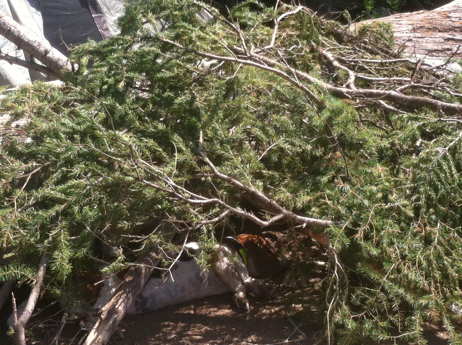
Maggie looking quite elderly!

Hello Magglees.
Tokatee Falls, so very pretty.

North Umpqua River Hydro Project:
These flumes are pretty cool, you see them everywhere, there are a total of 8 dams in the hydro system, these flumes were built in the 1940-50s, its amazing how well they have held up, especially being made out of wood boards!
View from just above the falls.
Mag
Trail up to the Hot Springs from parking lot.

One soaking pool inside the shelter, and 3 or 4 others just outside of it that increase in heat as you go down.

In one of the top, outside pools, life is good!
 
You can see as the pools go further down, they get a bit more sulfur, and most people don't go in those closest to the river. This is a view from the river side of the lean-to.

We spent some time in this pool, I have to say, this is one of the dirtier (in regards to graffiti, and people littering) of the hot springs I've seen. It's too bad people don't take better care and pack out, or clean up after themselves.


Monday, November 10, 2014

Chanterelle Hunt November 2014: Gifford Pinchot/Panther Creek Wilderness

A few of us from work went Chanterelle hunting last weekend, we pulled off on Warren Gap Road in the Panther Creek Wilderness, and walked down a trail for a quarter mile, we found several magical spots filled with Chanterelles as well as other beautiful mushrooms. It was my favorite mushroom hunting trip to date.


We came back to carson via a loop to Panther Creek Road. We decided to sneak in a trip to Panther Creek Falls. This is very hard to see if you have never stopped before, above is the only sign at the trail head on the north side of the road, but it may be easier to look for the gravel pull out.


Rob with his treasures.

 Lower Panther Creek Falls
Photo Credit: Dale Davis, Lower Panther Creek Falls
 Daydreaming in fairy land.
 Dale looking adorable as ever.

Friday, October 3, 2014

STRAWBERRY LAKE(wildfire weekend): via Fossil/John Day/Strawberry Mountains

Some late photos of our trip to Strawberry Lake and the Strawberry Mountains last month. Click the Portland Hikers link for more information. Strawberry Mountain Loop. We had to delay this trip the first week because of several uncontrolled wildfires in the area, we passed several brand new fires on our drive out, and back home on this trip. (see pictures below). We are so grateful for all the selfless fire workers and volunteers, and can't imagine how hard they are all working to try and keep us, and all the animals in the area as safe as possible. Thank you!


Chloe the camo Basset.

Smoky Oregon.

Giant Bug friends. He kept trying to play Yahtzee with us. I approve.

This may have been the Murderer's Creek/Wilderness Fire, or the beginning of it.

Murderer's Creek Wildfire. Malhuer National Forest.


ELK MEADOWS: Mt Hood Wilderness; Newton Creek

Maggie excited to be out on an adventure. It's been almost a month! (poor dogs right?) :)
Tim and I took a week day and drove out to Mt Hood Wilderness to do the ELK MEADOWS HIKE (click the link for the Portland Hiker's Field Guide reference page). This hike is moderate, 5 miles, and best time to go is Summer to Early Fall, any later the Newton Creek crossing gets a little sketchy. It was such a beautiful day, here are some pictures!


Stopped by the Barlow Trail and Pioneer Woman's grave turnoff to take a look at this view. One of my favorites. (same viewpoint as the cover photo for the blog).


Not sure how this tree got these hash marks... It looks very intentional and geometric, any ideas?


A nice peak at Mt Hood just after you start the uphill switchbacks from Newton Creek.


Branch Jenga
waterfall of branches, a secret spring was coming from underneath. Fairy land!
Adventure Dogs.

A lovely view from a clearing along the trail, this is about one mile in on the uphill switchbacks past Newton Creek.


The trails are really well marked in this area. There are several turn offs but you shouldnt have trouble staying on the right path! About 3/4 of a mile past this sign, we saw about 3 female perigrine falcons taking a bath together. It was so awesome!!!
Chloe Breault-y at Elk Meadows. This is a great place to camp, read, take a nap, and just take it all in!